Start this hike at the Buccoo Beach Facility.
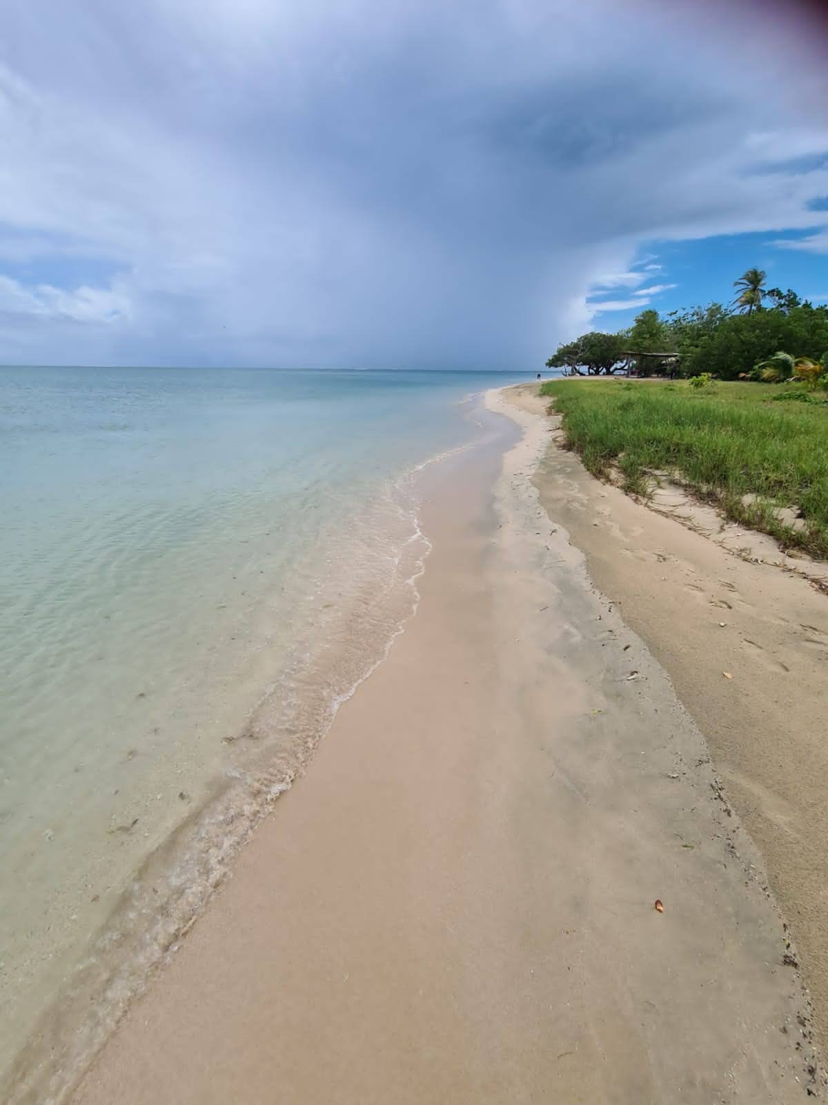
Walk along the well defined trail straddling the beach but between the beach and the mangrive swamp, until you meet the end of the beach where there is a Rocky point. Alternatively, in low tide you could walk the beach from the facility to the Rocky point. Climb the Rocky outcrop inland at the naked Indian tree and onto the trail past a derelict concrete house. The house was Princess Margaret’s honeymoon villa. Continue along the wide grassy road for 10 minutes to a T junction and turn right.
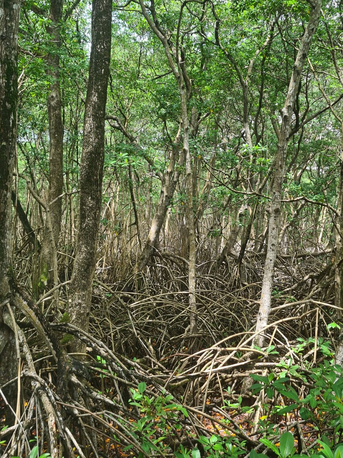
It is about 1 km to the sand spit at Sheerbirds l point or no man’s land. The road passes through the BonAccord Lagoon mangrove. The mangrove inhabitants including ducks, water birds, and fiddler crabs are in abundance and adds interest to the hike. Bathing is safe except for currents in the mangrove channel where the lagoon drains to the open sea. Rating 2, Easy. Return is the reverse route or hitch a water taxi to Buccoo or to Bon Accord across the lagoon.